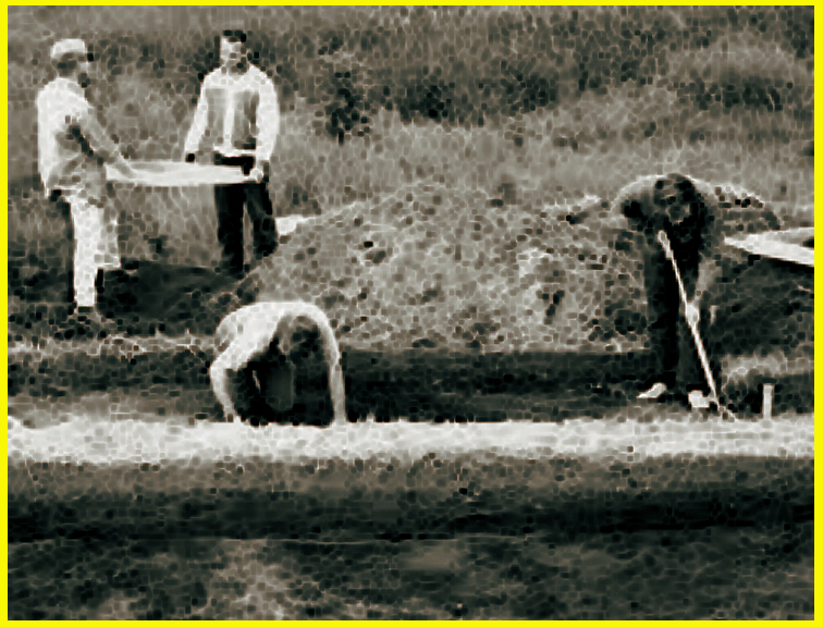
|
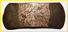
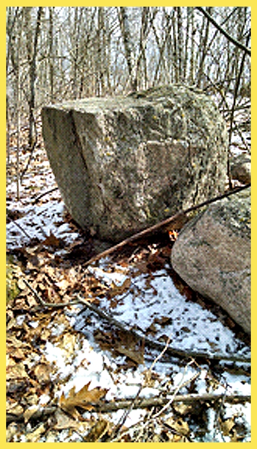
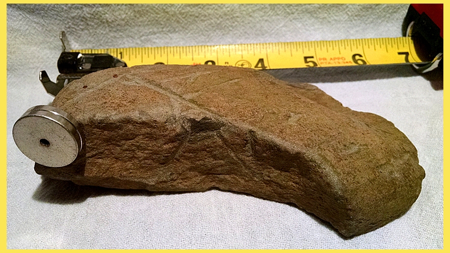
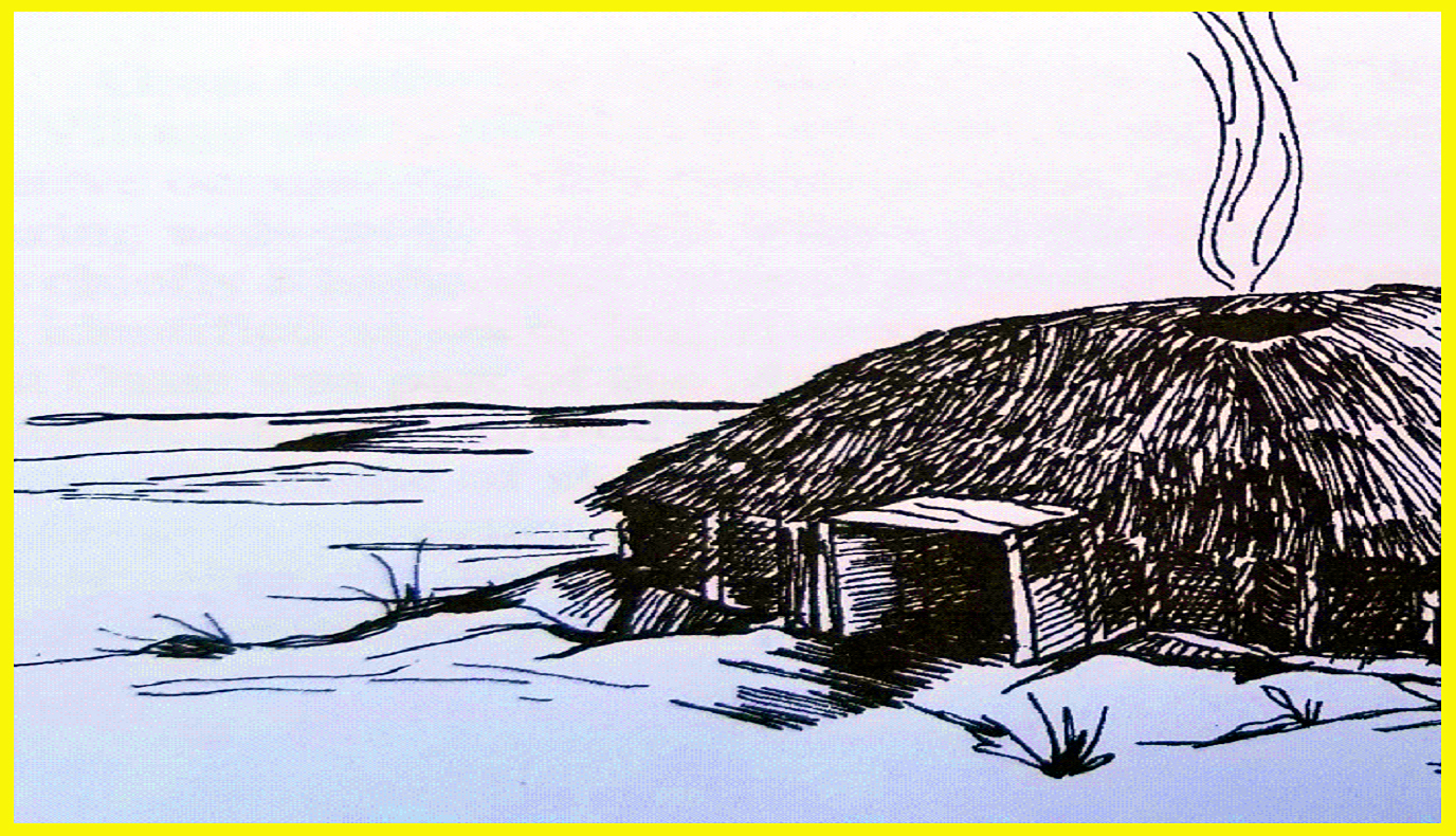
Fig. 1
|
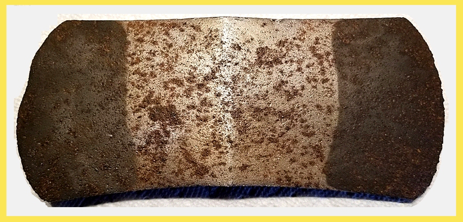
"Saddle Axe” found with a metal detector by fellow
researcher “TINA HERZOG” at the base of an very large oak tree Notice the upper left
side of the blade has seen trauma most likely due to chopping ice,
accessing food and water. The
“Saddle Axe”, handy and well balanced was utilized by lumber scouts marking
tree harvesting boundaries while remaining on horseback.
|
|
|
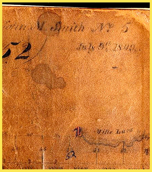
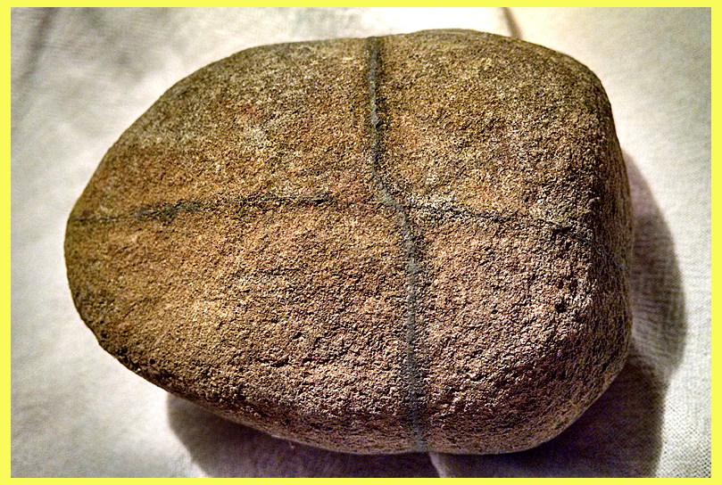
1842 Field survey notebook.
Chains and poles, (similar to 10 yard chains in football) were used
as a measurement tool moved in succession North, South, East and West.
Laying a grid work of “corner stones” for Timber and acreage assessment as
well as Federal Agricultural allocation. (Land Grants)
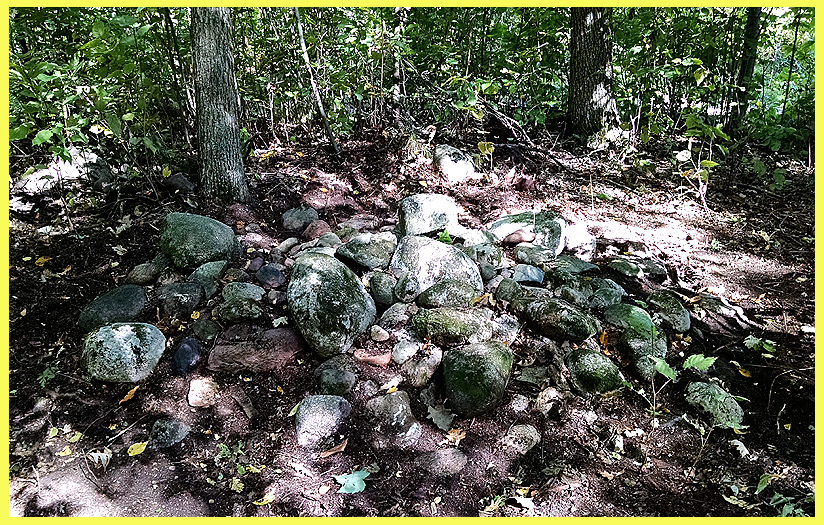
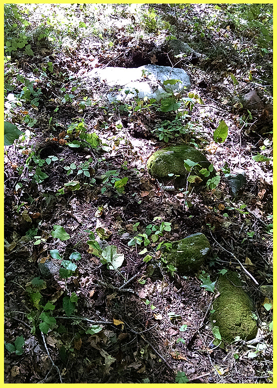
|
|
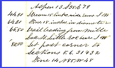
Fig. 3
|
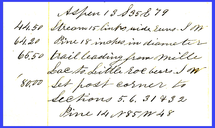
This “journal” entry describes a
trail used as a trade route, put in place in an ancient time and utilized
by many cultures.” A trail leading from Mille Lacs to Little Rock bears
South West”. Being it only a two day travel from Little Rock to Mille
Lacs, Critical thinking challenges one to Reverse that bearing,
resuming trial on North east side of lake and continue that heading on a two day journey to Lake
Superior. Clues left behind by
these Ancient explorers are documented in books such as...“The story of
Morrison county, Their people, industries and institutions” by Clara Fuller
(1915) In Chapter two the book
references “peculiar earthworks” with prehistoric undertones. https://archive.org/details/historyofmorriso02full
|
|

Fig. 4
|
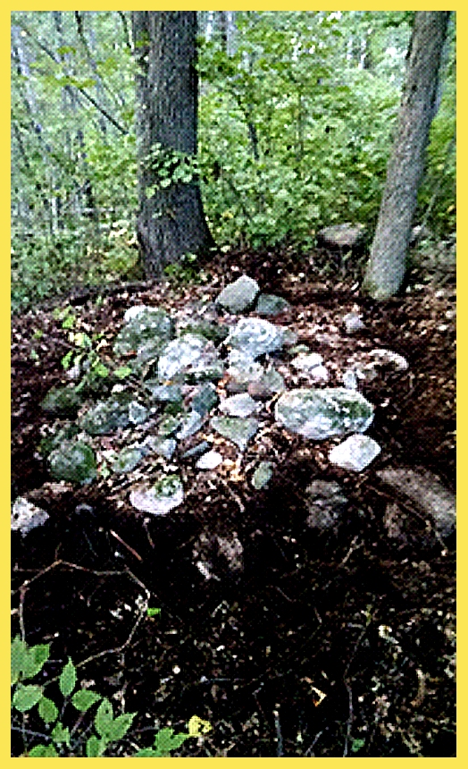
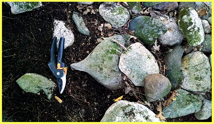
…One “Cairn” resembled a “turtle” shape. The Piles of rocks making up the
“cairns” consisted of all sizes. Some
stones 30” in diameter, as well as 3”in diameter. 3” stones do not represent “picker” rocks, and would not have
been from field clearing. Most
Sites are located on ridge tops making logistics futile for agricultural
purposes.
|
|
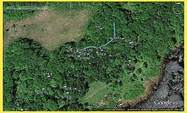
Fig. 5
|
G.P.S overlay of the area in which inscriptions have
been located. Most of the sites are
located at the highest elevation overlooking a large wetland (Prehistoric
shallow lake). The area is very rich in Iron Ore as well as other precious
metals. Earlier this spring “Bog Iron” was retrieved by metal
detection, with logistics favoring unabated wind, the “cairns” might have
been a series of “Iron Furnaces”.
This theory would possibly explain burnt wood recovered from
excavation.
|
|
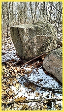
Fig. 6
|
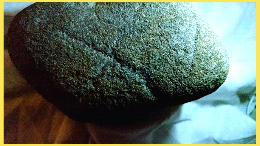
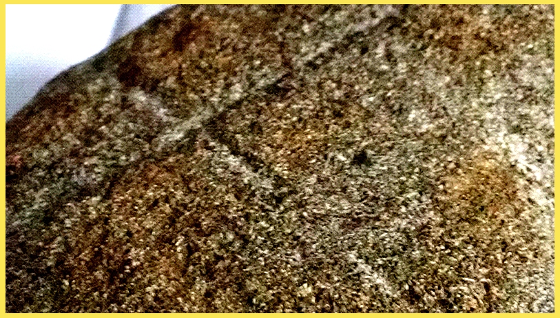
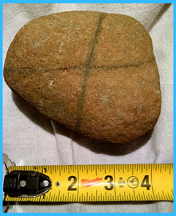
75% of this boulder top has been
modified to provide a sturdy and level work platform. Was the intended use for food
preparation? I.E grinding or meat carving.
This boulder stands at a central point of the “communal area”,
within proximity of two rock lined holes. (Fire pits?)
|
|
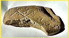
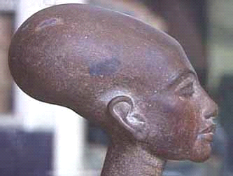
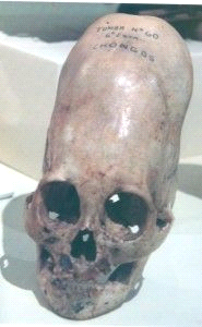
Fig. 7a
|
The overall shape of this
“Pictograph” seems to have been influenced by a region that practices
“Cranial Binding”, such as the sculpture of “Nefertiti” The Egyptian Queen.
Her reign ended in the year 1336 B.C Or a culture with physical features
like this Skull found in Nazca, Peru
|
|
|
|
|
Fig. 7b

|
d
|
The overall shape of this
“Pictograph” seems to have been influenced by a region that practices
“Cranial Binding”, such as the sculpture of “Nefertiti” The Egyptian Queen.
Her reign ended in the year 1336 B.C Or a culture with physical features
like this Skull found in Nazca, Peru
|
|
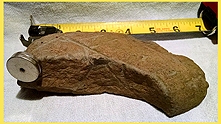
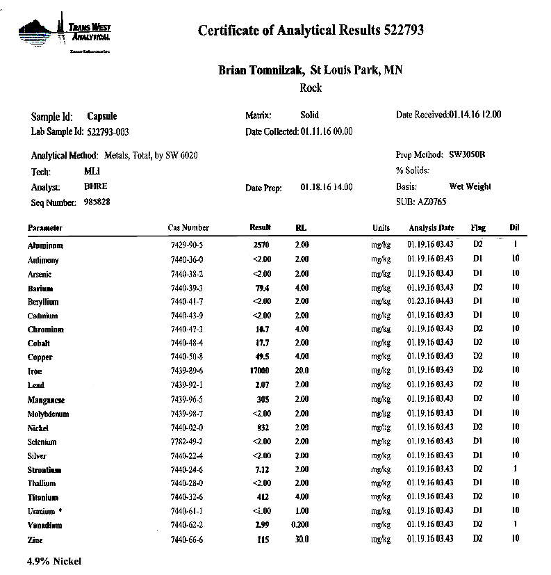
Fig. 8a
|
A rare earth magnet is equally
attracted throughout the entire rock.
Iron and nickel were registered on detection equipment; however
other area samples that have been sent to a lab for a metals scan have
produced a plethora of metallic resources.
|
|
Fig. 8b
|
Area samples that
have been sent to a lab for a metals scan have produced a plethora of
metallic resources.
|
|
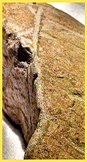
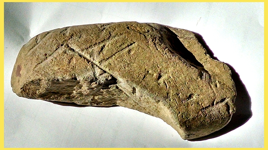
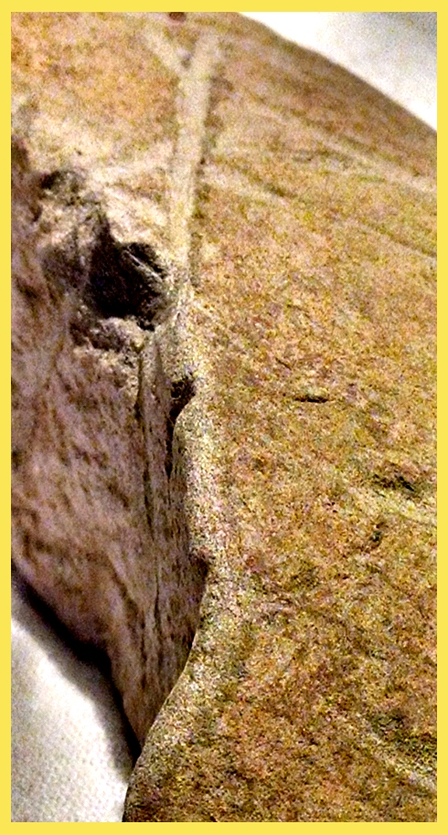
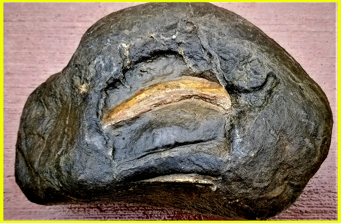
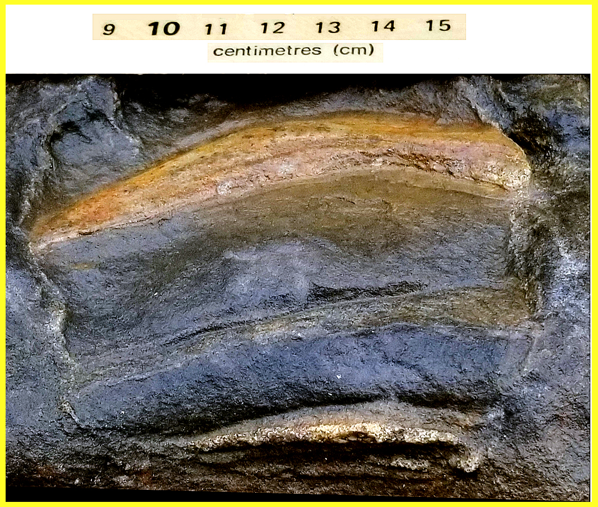
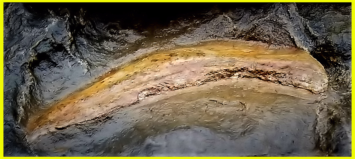
Fig. 9
|
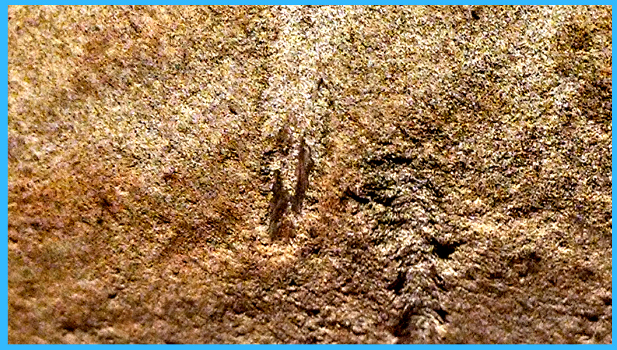
The width and shape of the “tool”
used to form and incise is very evident, a proto “chisel”, two short sides
and one main blade. At least three
downward cuts were made to “score” this rock; it was further incised down
the break in an “extension” of the character topside. The downward cuts had come after the
inscription; the long lateral line was the last stroke, based on medium
drifting onto earlier lateral strokes.
Did the downward cuts separate an adjoining piece?
|
|
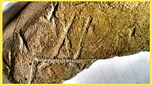
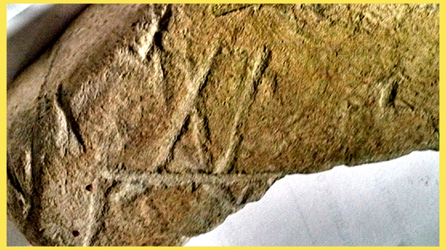
Fig. 10
|
Upon initial viewing most experts
in their fields (Archeologists and professors worldwide) agree that these “Artifacts”
were indeed inscribed by a human.
The text resembles “Roman”, In Roman numerals an X in front of L =
10 less than 50 equates to 40, (“Ten men dead, red with blood”, as
inscribed on the Kensington Runestone?)
It also bears a strong resemblance to an “Ansus”, which is part of
the Viking “Futark” alphabet.
Researchers have possibly identified the text as “Ogam” a form of
stick writing originating in early Africa around the river Nile. This form of written expression will
later will provide a “keystone” in developing Europe’s more “modern” forms
of text.
|
|
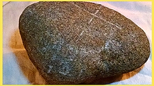
Fig. 11
|
“A Deer hunting story”. Throughout history man has always found
a way to memorialize a special Hunt, earlier cultures expressed themselves
with Cave pictures and petroglyphs.
Fast forward to today, hunters record their harvest by taking pictures,
and mounting of the antlers. This
“picture” depicts a bow with Arrow “knocked”, Action represented by second
arrow in flight. Target is a four
legged animal (deer?)
|
|
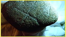
Fig. 12
|
Years of weathering conceals
ancient work. With varying angles
of light more detail was exposed.
|
|
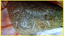
Fig. 13
|
The animals “torso” was etched in a
different manner then the “legs”, which were “chiseled.”
|
|
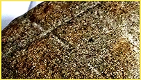
Fig. 14
|
Clearly the “Bow” was added after
the “Arrow”. The last stroke will leave “wakes” on preexisting characters.
|
|
|
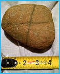
Fig. 15
|
This baseball sized rock is wrapped
with a fossilized “fibrous” substance (twine?) Under greater magnification, one can observe slight
“grooves” worn into rock under “twine” placement.
|
|

Fig. 16
|
Residue embedded in text, could
yield information as to the technology available at that time. Inductive
coupled plasma mass spectrometer testing would differentiate between which
“metal alloy” was used to penetrate the Iron rich artifact.
|
|

Fig. 17
|
A “cairn” with forest debris
cleared away. “Shovel” tests
concluded base of pile and area underneath are “one”. The area below ground is as dense with
rocks and boulders as the pile on the surface. Could this be due to years
of detritus build up around the base?
|
|
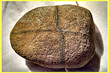
Fig. 18
|
The “twine” is looped, as you would have done if you had
one length. The Twine would be
guided around itself and pulled from opposite angles. Purpose of this could be for weighting
down hanging hides, or depth sounding.
|
|

Fig. 19
|
A “Heart shaped” stone. Notice overlapping of rocks.
|
|
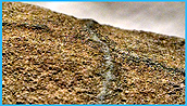
Fig. 20
|
Missing section of “twine”, proving
it is not any type of “mineral vein.”
|
|
Fig. 21
|
Rocks placed in succession to a
massive Quartz boulder 90 percent buried.
|
|
Fig. 22
|
These types of “Ancient Trails”
started out as explorers footprints, followers left paths, that turned into
a trail system that led many early European cultures to “communal “areas of
Commerce as well as convenient trade routes to major waterways.
|
|
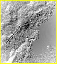
Fig. 23-1
|
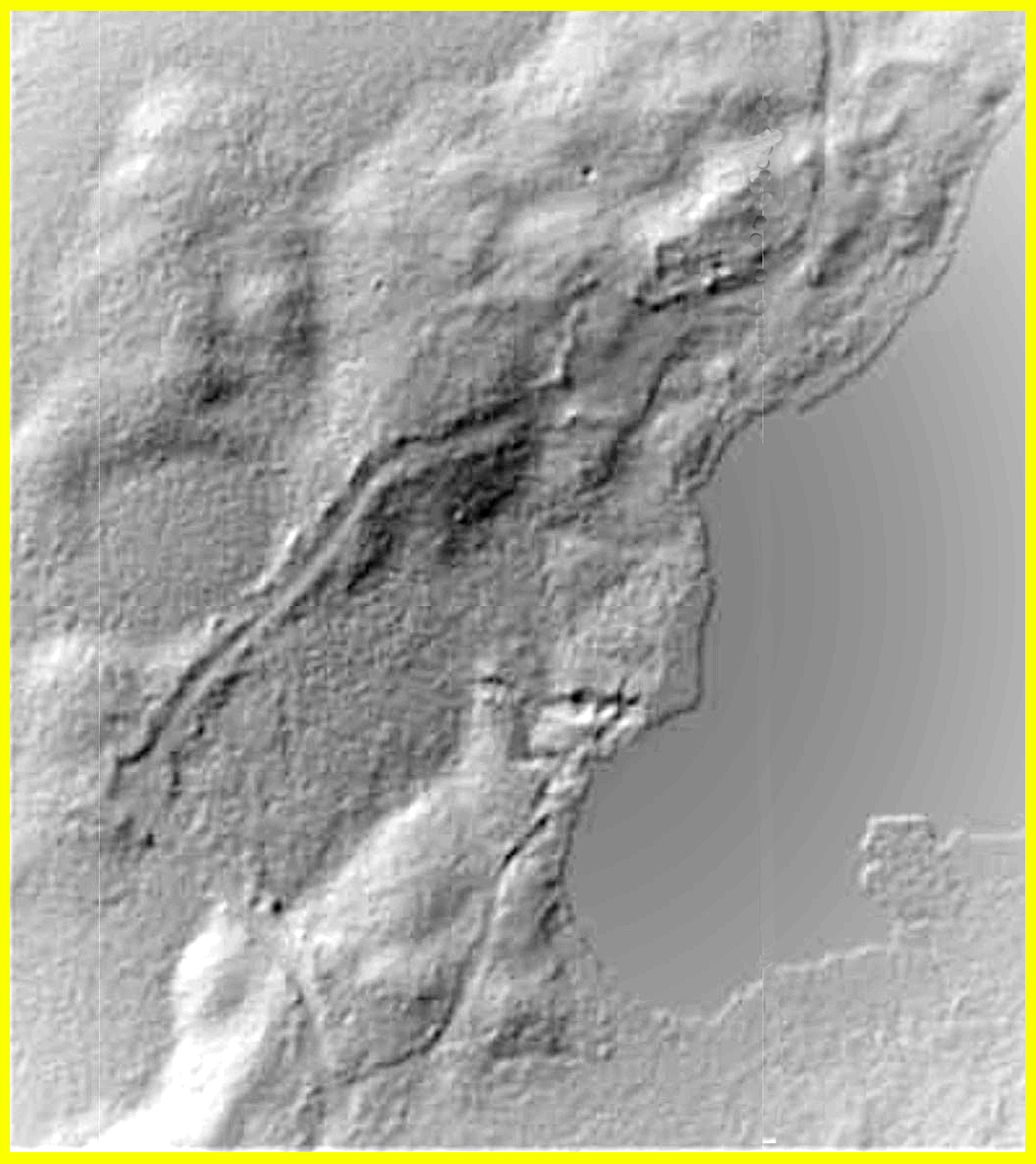
L.I.D.A.R radar technology
eliminates vegetation, while highlighting undulations as subtle as a 24 inch
rise in terrain. This process exposes shapes and angles that are unnatural.
This represents the same area as the G.P.S overlay of the site.
|
|
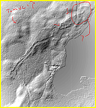
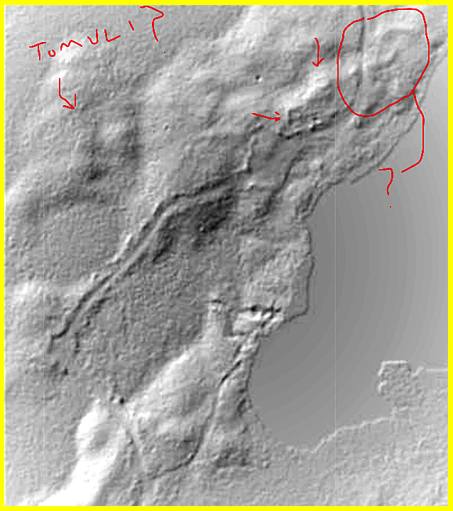
Fig. 23-2
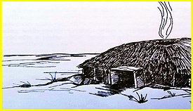
Fig. 23-3
|
.
The United States Dept. of Interior refers to common areas on
historic Portage routes as “Portage Terminals”. They served as highly developed rest and refitting stations,
some developed into trading posts.
This “Portage Terminal” shows signs of squared foundations as well
as a large rectangular rise in the terrain, which has been documented by
the Iowa office of state archeology researching a culture referred to as
”The Great Oasis” (900-1200 A.D) to be an earth covered lodge collapsed to
form a large rectangular mound (Tumuli?)
Cache sites were common, with pits or rock cairns being indicative
of storage sites used to secure items for future use. (Food, warm clothes,
weapons)
|
|
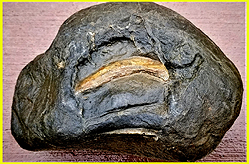
Fig. 24-1
|
Artifact recovered
from site 11
What is the
Artifact locked in the substrate? (Sabretooth, Allosaurus tooth?) What is the
Substrate? (Possibly Coprolite?) When was the attempted ancient
“excavation” of the subject, which is evident by “Tool Marks” surrounding
the Artifact? Was it intended to
look line an elephant? The earth
works in the Ohio valley were comparatively recent and created later then
the first sights in Iowa, Minnesota and Wisconsin. As indicated by the
total absence of signs of the Mastodon.
The earlier sites seem to have some acquaintance with the "melephant, confirmed by the
worship of the “mammoth” expressed in pictographs. (The Aborigines of Minnesota; Winchell
1911)
|
|
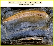
Fig. 24-2
|
Unidentified Lower
bone inclusion. Also highlighting
long horizontal “tooling” mark
|
|
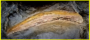
Fig. 24-3
|
Crude attempts
with ancient tools to extrapolate the tooth from the substrate resulted in
damaging the artifact.
|
|
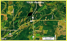
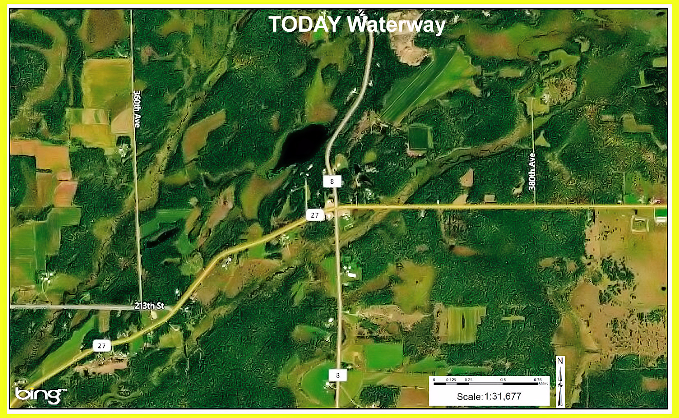
Fig. 25-1
|
Modern travel
corridors (roads) were often constructed utilizing existing trails or
“Tote” roads, generally followed waterways. These waterways today are mere creeks, suppling drainage for
storm runoff.
|
|
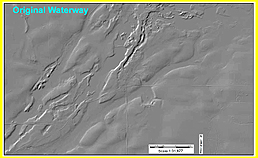
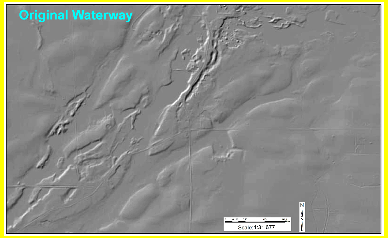
Fig. 25-2
|
Utilizing
L.I.D.A.R technology we see Ancient river tributaries leading to the
Mississippi and Red River valley, perfect for shallow bottom vessels such as
a Viking Ship. This would explain
Mooring holes on dry land, but also why the “Kensington” rune stone
references its resting place as an “Island” when in fact it is not.
|
|
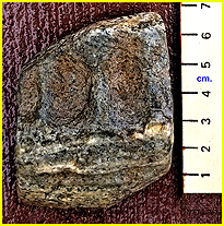
Fig. 26
|
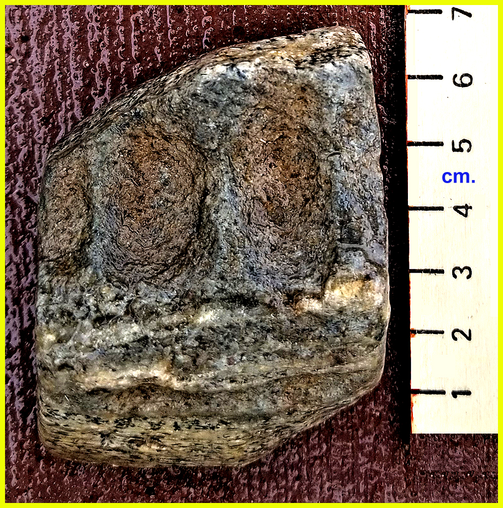
Unidentified
possible bone fragment (Vertebrae) side A
|
|

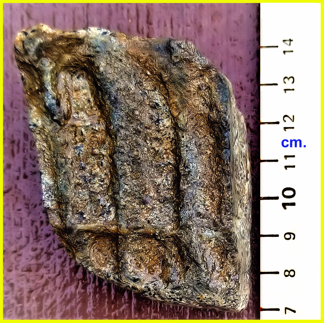
Fig. 27
|
Possible animal
bone fragment (vertebrae) side B
|
|